Waterspout spotted in Hong Kong as strong winds and heavy rain disrupt transport
- City also set to face rainy week ahead caused by trough of low pressure that will affect coastal areas of Guangdong
- Observatory urges residents to exercise caution as an area of intense thundery showers over western Guangdong is gradually moving eastward
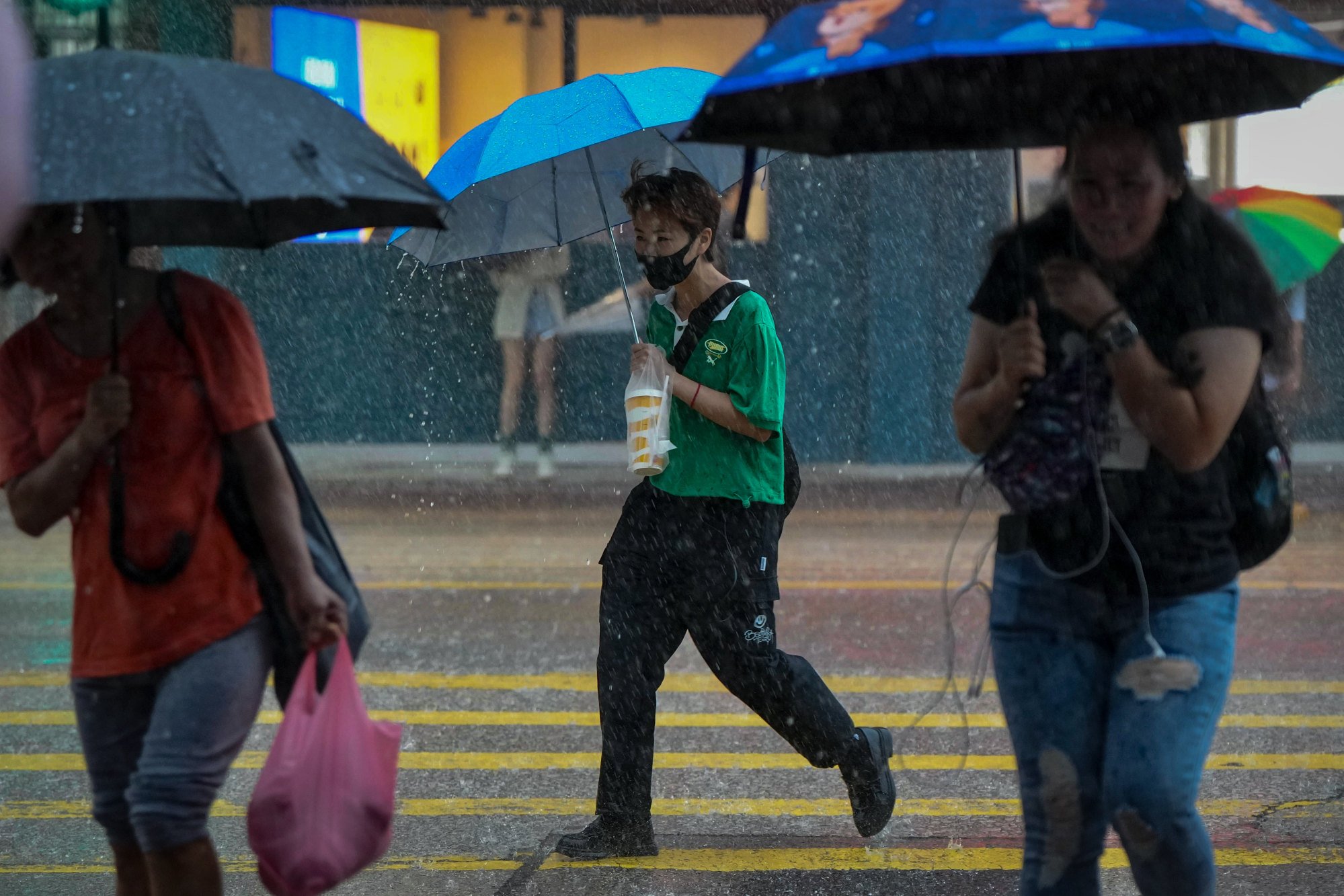
The Observatory issued a nearly four-hour amber rainstorm warning at 10am – after the same alert was issued the night before – warning of “violent” gusts of wind and flooding in some low-lying and poorly drained areas.
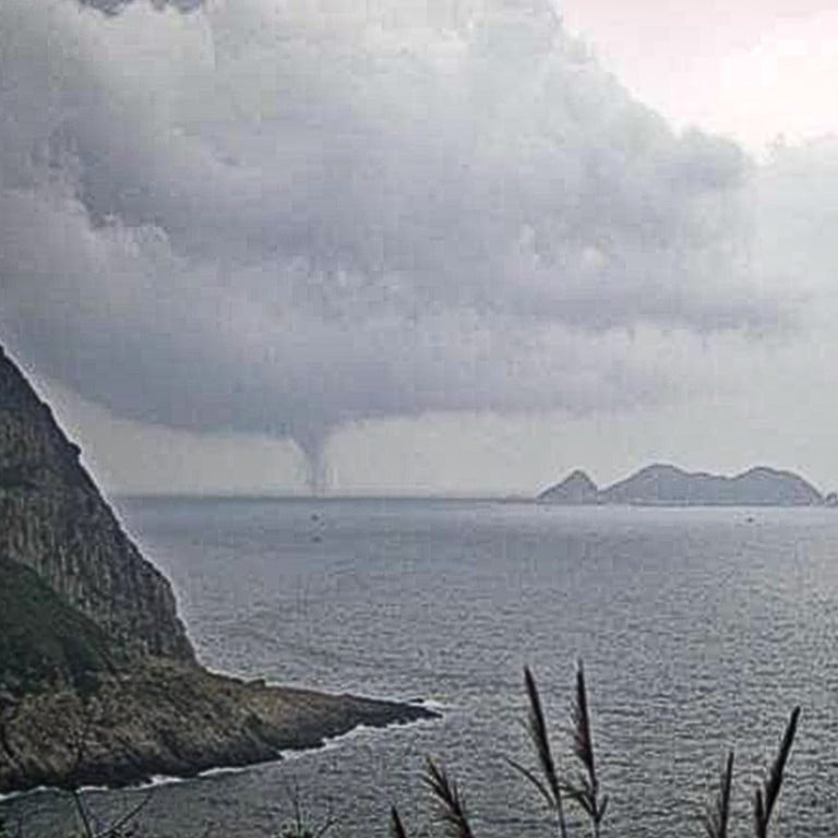
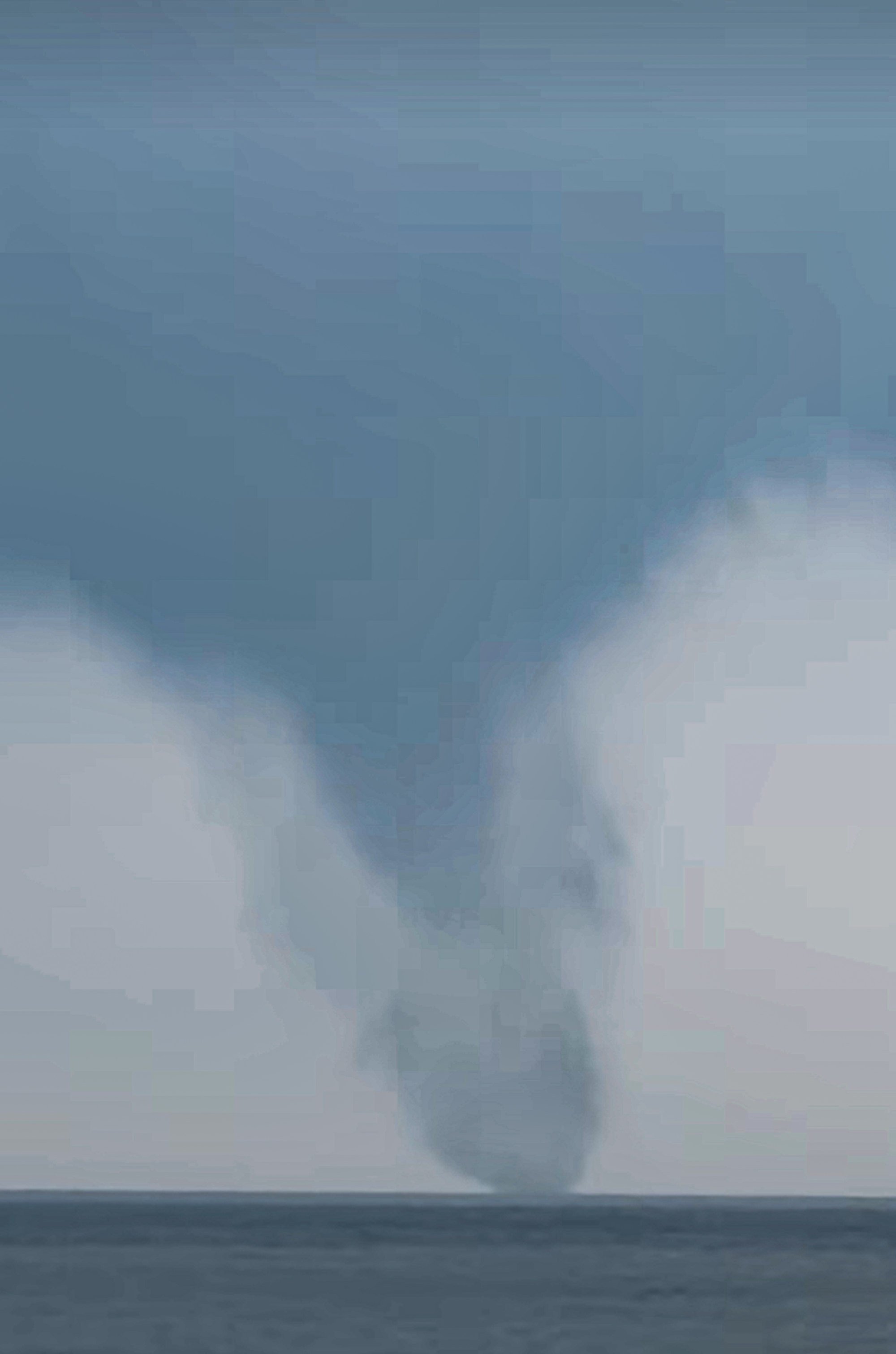
The Observatory said the waterspout was reported at about 9.30am at Clear Water Bay in the New Territories. Waterspouts are fast-rotating air columns above water that extend down from the base of clouds.

Wind speeds of 105km/h (65mph) and 100km/h were recorded on Green Island – off the northwest coast of Kennedy Town – and at Cheung Chau respectively at around 11.05am.
The forecaster warned that a trough of low pressure affecting the Guangdong provincial coast was expected to bring persistent heavy rain and squally thunderstorms over the vicinity of the Pearl River Delta on Monday and Tuesday.
The weather service appealed to candidates sitting university entrance exams to allow sufficient travelling time to get to their test venues.
A toppled tree in the Mid-Levels resulted in The Peak tram halting services in the afternoon and forced suspension for the rest of day. It remains uncertain whether the service can be resumed on Monday.
A section of Wylie Road, across Victoria Harbour in Ho Man Tin, was temporarily closed to traffic in the morning because of fallen trees.
Authorities had recorded 29 cases of toppled trees across Hong Kong by 7pm.
Strong winds also ripped sections of roof off the platform at University station, causing services at MTR stations on the East Rail line to be delayed by as much as five minutes as maintenance crews carried out emergency repairs. Full service was restored about an hour later.
Hong Kong Observatory issues second amber rainstorm warning this week
The MTR Corporation said its maintenance team would conduct a “detailed inspection and follow-up” on the roofing after service hours.
Some high-speed railway services between West Kowloon station and the mainland were also delayed because of the weather.
The speed limit on all lanes of the Hong Kong-Zhuhai-Macau Bridge was lowered to 50km/h.
Ferry services between Po Toi Island and Stanley’s Blake Pier at 3pm and 4.30pm were also cancelled and replaced by a service to Aberdeen at 3pm and 6pm respectively.
The Hong Kong Examinations and Assessment Authority reminded candidates sitting Diploma of Secondary Education exams that the tests would go ahead as planned under an amber rainstorm warning.
The authority added that, under a red rain warning, tests would also “generally be held as usual” with the start time pushed back by 15 minute.
It said exams would be postponed if a black rainstorm warning was issued.

The authority added that if it decided to postpone exams because of bad weather, it would make the announcement two hours before the scheduled start time.
The city is also expected to face a rainy week ahead, caused by a trough of low pressure that will affect coastal areas of Guangdong.
The latest nine-day forecast predicted heavy showers at times and squally thunderstorms between Sunday and Tuesday.
There will be fewer showers midweek as the trough of low pressure gradually weakens, but the city is expected to only see sunny intervals next Monday.
Guangdong has braced itself for serious flooding from one of the major rivers. Flood warnings have also been issued for several other areas across the province. It would be the second big flood to hit the province in a month.
After record rains in Hong Kong, critics pan policy incentives for basement car parks
The provincial flood and disaster prevention authorities said water levels in the Bei River, a southern tributary of the Pearl River, were expected to peak at 37.3 metres (122 feet) by 1am, about 5.8 metres above the warning line.
The Security Bureau said on Sunday it had been agreed with Shenzhen authorities that the Hong Kong side would be notified as early as possible when a flood discharge over the border was expected.
The bureau said it was also keeping in close contact with the Observatory, adding a contingency plan for natural disasters already existed.
“The Emergency Monitoring and Support Centre will also be activated when necessary in order to monitor and co-ordinate the response strategies of various departments and provide support as needed,” the bureau said.
Additional reporting by Danny Mok


