Tropical storm Mawar expected to be closest to Hong Kong on Sunday afternoon
After batterings by Typhoon Hato and Severe Tropical Storm Pakhar, city on standby for more rain and wind
Tropical depression Mawar, which is threatening to bring Hong Kong its third typhoon in only two weeks, is expected to be closest to the city on Sunday afternoon when it makes landfall in Shantou, eastern Guangdong, according to weather officials.
Senior science officer Cheng Yuen-chung from the Hong Kong Observatory said the depression might intensify into a typhoon over the weekend, but whether it would trigger the signal No 8 warning depended on its strength as it edged closer to land.
If Mawar prompted the No 8 warning signal, it would be the first time a T8 was issued for five consecutive storms to hit Hong Kong since tropical cyclone records began in 1946.
At 4pm on Friday, Mawar was centred about 190km from the Dongsha Islands in the northeastern part of the South China Sea, according to the forecaster.
The Observatory would consider issuing the storm standby signal No 1 on Saturday, it said in a statement at 4.45pm. It said earlier that it was expecting to issue the signal later in the day.
“Mawar moved generally northwards today, adopting a track farther away from Hong Kong,” the Observatory said.
“Its threat to Hong Kong is relatively low in the short term.”
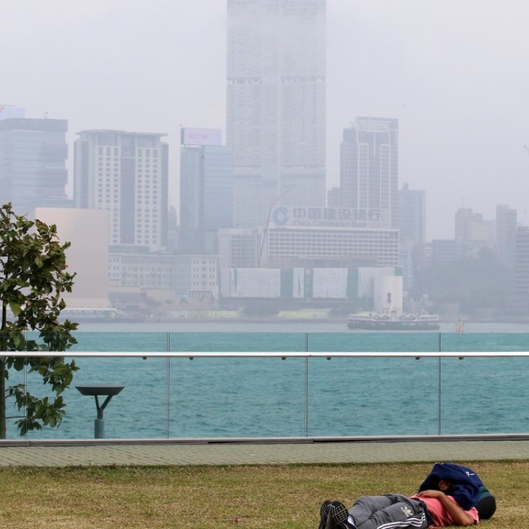
The looming storm meant Hong Kong experienced hot and hazy weather conditions on Friday afternoon, with air pollution levels likely to turn serious later in the day, according to the Environmental Protection Department.

All of the EPD’s 13 air quality monitoring stations recorded higher than normal levels of air pollution at 4.30pm, posing “very high” to “serious” health risks.
Pollution was the worst in Tuen Mun and Tsuen Wan in the New Territories and Tung Chung on Lantau Island, with Air Quality Health Index readings of 10+, which meant that it posed a “serious” health risk.
Sham Shui Po, Kwai Chung and Yuen Long were some of the harder hit areas, with an air quality level of 10, posing a “very high” health risk.
Roadside air quality stations in Causeway Bay, Central and Mong Kok also recorded readings of 10, posing a “very high” health risk.
The EPD said on Friday afternoon that light winds and hot weather had hindered the dispersion of air pollutants and that the air quality index at more monitoring stations was expected to reach “serious” levels later in the day.
“It is expected that pollution levels will remain higher than normal until Mawar reaches the south China coast,” the EPD said in a statement, citing information from the Observatory.
Only one plane lands in Hong Kong as Typhoon Hato wreaks havoc with flight schedules
As schools reopened after a long summer holiday on Friday, the weather was likely to be bad, with showers and thunderstorms expected in the afternoon. It was expected to be hot and hazy during the day, with a maximum temperature of 32 degrees Celsius.
Heavy rain and strong winds were expected over the weekend.


