
How Singapore synergy shows the way forward for Hong Kong’s smart city dreams
- Hong Kong does not lag behind its neighbours in its work towards becoming a smart city, especially in infrastructure construction
- The city’s fatal flaw is that many projects are not related to each other and parts of the government fail to coordinate, making it difficult to produce synergy

These viewpoints are not new. However, it was refreshing that he did not talk about policies or funding but rather quoted real-life examples to illustrate how geospatial data could benefit the community.
By the beginning of this year, 50 ride-hailing vehicles had been equipped with automated external defibrillators and first aid kits. More than 60 private-hire drivers have been trained to be lifesavers.
02:00
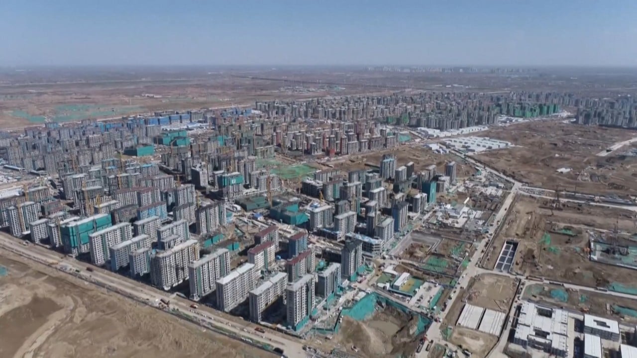
Construction in full swing to build China’s ‘city of the future’, Xiongan
The collaborative approach between government, the private sector and the public using spatial information can create great synergy, Balakrishnan said.

01:34
Wuhan’s new wireless charging lamp posts keep smartphones alive on streets of Chinese city
According to Balakrishnan, the government should build digital platforms “to facilitate geospatial data sharing across both the public and private sectors” to provide the foundation for the private sector to innovate and develop new solutions. The above examples clearly show public-private collaboration can produce “great synergy”.
Hong Kong also has a 3D city map, established by the Lands Department a few years ago, that is similar to Singapore’s single data platform OneMap3D. The 3D Visualisation Map displays topographical and exterior features of terrain, buildings and urban facilities. These 3D maps have been available to the public since December.
01:01
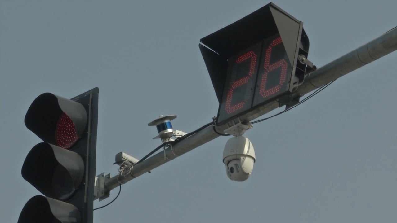
China’s plan to build its first smart roads fully-covered by 5G networks in Beijing
What is the key to Singapore’s success? Balakrishnan mentioned why Singapore formed a Smart Nation and Digital Government Office in 2017, in addition to the Smart Nation Initiative. Both are directly under the Prime Minister’s Office to ensure different government systems are integrated and connected, to implement the smart nation policies in a top-down approach.
We believe these suggestions are still appropriate and becoming more urgent. Otherwise, even with advanced technology and sufficient funding, it will be difficult to achieve the desired results.
03:04
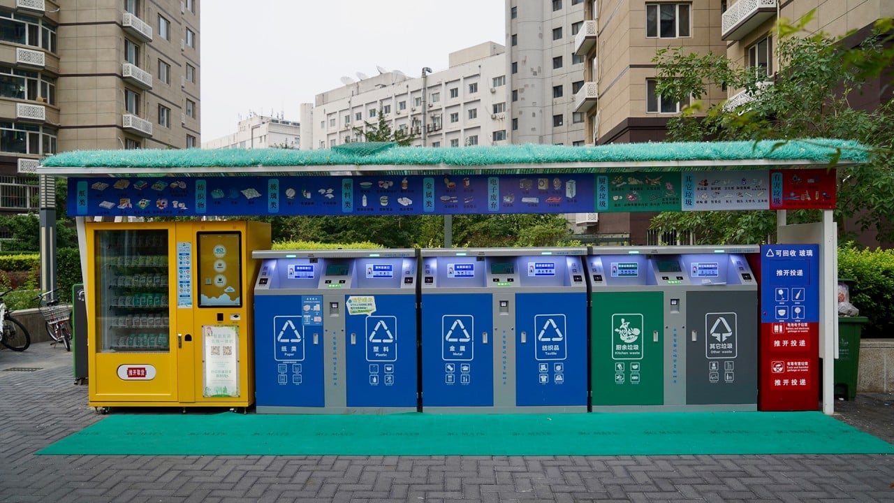
Garbage bins with facial recognition cameras put into use in Beijing
Through this top-down approach with public-private collaboration, the government can act in a concerted manner and Hong Kong can maximise the effectiveness of open data in spurring the growth of a new economy.
Dr Winnie Tang is an adjunct professor at the University of Hong Kong and founder and honorary president of the Smart City Consortium
